Trail number
Various trails
Trail length
9 kilometres
Elevation variance
200 metres
Trail type
Single trail, fire trail
Trail surface
Smooth dirt, rocks and rock outcrops
Weather affected
Prone to be muddy after heavy rain
Trail condition sources
Nil
Trail features
Berms, drop offs, natural rock gardens
Trail obstacles
Log obstacles


Trail rating
Intermediate and difficult
Rating basis
IMBA
Night riding
Yes
Family Friendly
No

Click Image For Trail Map
No GPX download
Refer to the map on the Tumut home page for information on how to access the trailhead. Once at the trailhead, the track straight ahead heads into the western side of the Mundowie Loop. To access the eastern side, the entrance is about 50 metres off to the left.
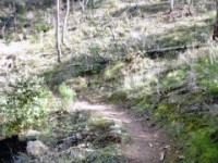
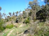
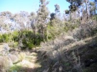
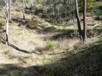
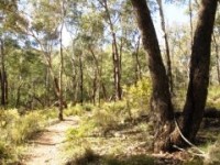
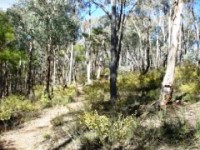
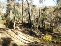
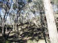
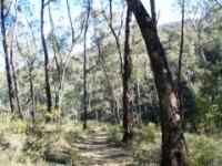
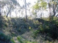
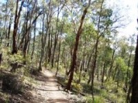
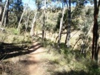
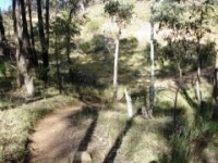
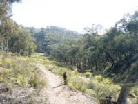
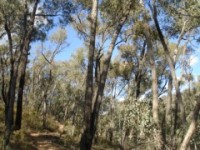
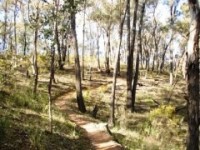
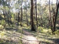
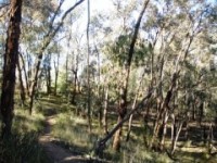
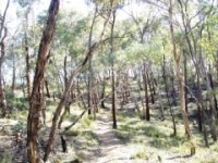
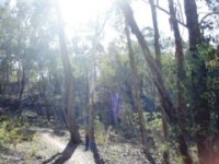
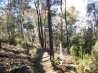
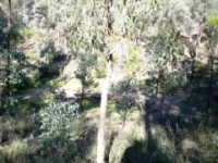
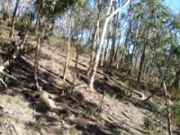
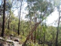
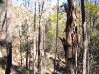
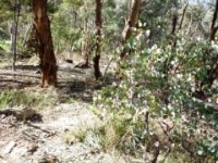
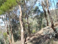
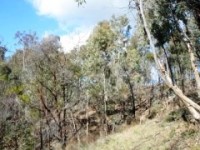
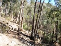
Each trail can be ridden in either direction - even the advanced course can be ridden in the uphill direction as the obstacles are not insurmountable. As you will see in the photos below, the trail can be fairly thin - particularly on the advanced course - and at times it can even be a bit hard to distinguish as it blends in well with the surrounding environment. Be alert for walkers as the trails are shared use. I saw a few walkers each time I went out so be aware, slow down when passing and say Hi on the way through.
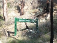
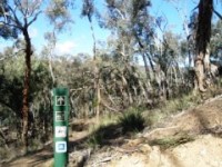
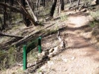
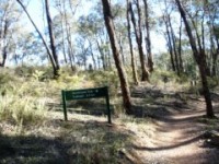
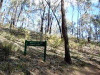
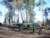
The Mundowie Loop forms the "core" trail of the recreation area with the other trails heading off it. The sign below is for the right hand or western side of the loop. The other side is about 50 metres to the left of this.
 |
 |
 |
|---|
 |
 |
 |
|---|
 |
 |
 |
|---|
 |
 |
 |
|---|
 |
 |
 |
|---|
 |
 |
 |
|---|
 |
 |
 |
|---|
 |
 |
 |
|---|
 |
 |
 |
|---|
 |
 |
 |
|---|
 |
 |
 |
|---|
 |
 |
|---|
 |
 |
 |
|---|
 |
 |
 |
|---|
 |
 |
 |
|---|
 |
 |
 |
|---|
 |
 |
 |
|---|
 |
 |
 |
|---|
 |
 |
|---|
 |
 |
 |
|---|---|---|
|
||
 |
 |
 |
|---|---|---|
|
||
 |
 |
 |
|---|---|---|
|
||
 |
 |
 |
|---|---|---|
|
||
 |
 |
 |
|---|---|---|
|
||
 |
 |
 |
|---|---|---|
|
||
 |
 |
 |
|---|---|---|
|
||
 |
 |
 |
|---|---|---|
|
||
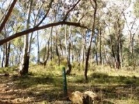
There is a further loop inside the Mundowie Loop which is not shown on the attached map - refer to the map at the trail head to access this portion.
 |
Parking is available at trailhead. |
|---|---|
 |
No toilet facilities are available. |
 |
No drinking water is available. |
 |
No food or drinks are available in the immediate area. |
 |
No local information facilities are available. |